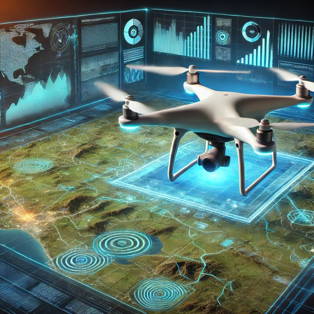
Our drones are equipped to capture high-resolution spatial data, which can be seamlessly integrated into Geographic Information Systems (GIS).
This integration enables comprehensive analysis and supports informed decision-making, environmental monitoring, and resource management.
By leveraging drone-collected data within GIS platforms, users can visualize complex geographical relationships, identify patterns, and develop strategic plans based on precise, real-time information.


